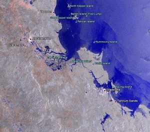
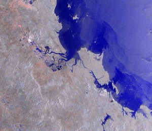
The Queensland floods remain large enough to be viewed from space. The below images have just been released bu the European Space Agency.
(Text in italics from ESA Media Release website): This Envisat Advanced Synthetic Aperture Radar (ASAR) composite image shows the flooded area around Rockhampton in Queensland, Australia. Affecting an area the size of France and Germany put together and killing more than 30 people since heavy rains began last November, the floods in Queensland have been the worst the state has seen in decades. This image shows the inundated area – represented by the blue colour – south of Rockhampton.

Unfortunately, the large version of the image (click on the below image to view) does not have the labels.
